
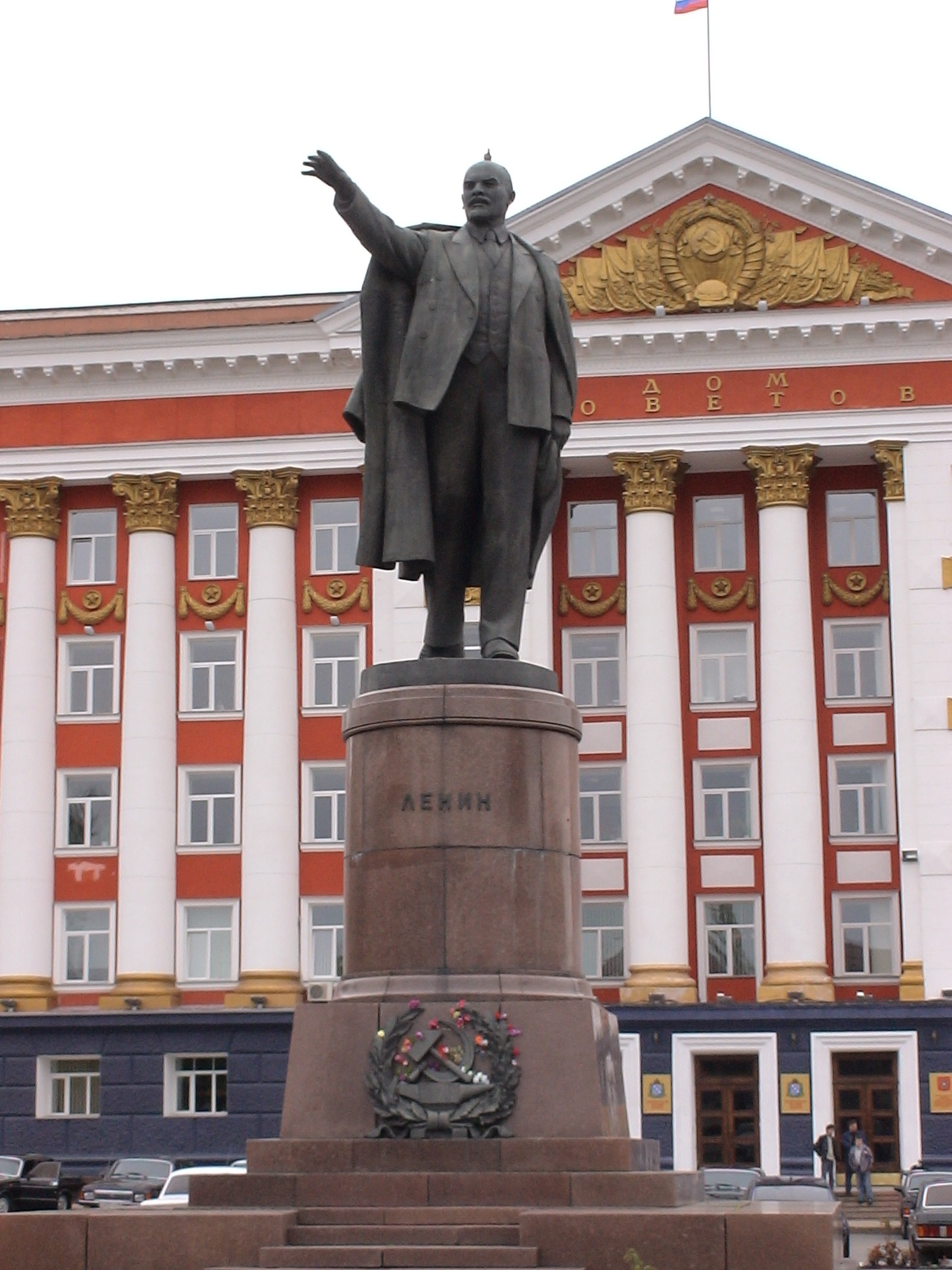
Kursk is a Russian metropolis that is the administrative center of Kursk Oblast. Kursk is known to have been mentioned for the first time in 1032, where it was one of several cities in what was then Severia that had been settled by Eastern Slavs from around the year 1000.
After that, Kursk was the capital of a smaller principality, and the next major events took place in the 13th century, where the city was destroyed around 1237 during the Mongol invasion. Kursk was later rebuilt. From 1360, the city was subject to the Grand Duchy of Lithuania, and that time lasted until 1508, when Kursk became part of Russia.
 Belgorod, Russia[/caption]
Overview of Belgorod
Belgorod is a city on the Donets River in southwestern Russia. A city in this area was mentioned in 1237 when Mongol armies under Batu Khan ravaged it, but several centuries passed before the foundation stone of modern Belgorod was laid. It happened under Tsar Fyodor I, who in 1596 re-established the settlement as one of several forts to defend southern Russia against the then threat from the Crimean Tatars. The name Belgorod means the White City, and the original fort was then also located as the city’s kremlin by the city’s characteristic white mountain, which has since been demolished due to mining.
About the Whitehorse travel guide
Contents: Tours in the city + tours in the surrounding area
Published: Released soon
Author: Stig Albeck
Publisher: Vamados.com
Language: English
About the travel guide
The Whitehorse travel guide gives you an overview of the sights and activities of the Canadian city. Read about top sights and other sights, and get a tour guide with tour suggestions and detailed descriptions of all the city’s most important churches, monuments, mansions, museums, etc.
Whitehorse is waiting for you, and at vamados.com you can also find cheap flights and great deals on hotels for your trip. You just select your travel dates and then you get flight and accommodation suggestions in and around the city.
Read more about Whitehorse and Canada
Canada Travel Guide: https://vamados.com/canada
City tourism: https://visitwhite-horse.ca
Main Page: https://www.vamados.com/
Buy the travel guide
Click the “Add to Cart” button to purchase the travel guide. After that you will come to the payment, where you enter the purchase and payment information. Upon payment of the travel guide, you will immediately receive a receipt with a link to download your purchase. You can download the travel guide immediately or use the download link in the email later.
Use the travel guide
When you buy the travel guide to Whitehorse you get the book online so you can have it on your phone, tablet or computer – and of course you can choose to print it. Use the maps and tour suggestions and you will have a good and content-rich journey.